
FAQs
CloudBase RTK Software
Explore our FAQs to understand more about how RTK can be used across a range of processes within many industries to provide accurate positioning.
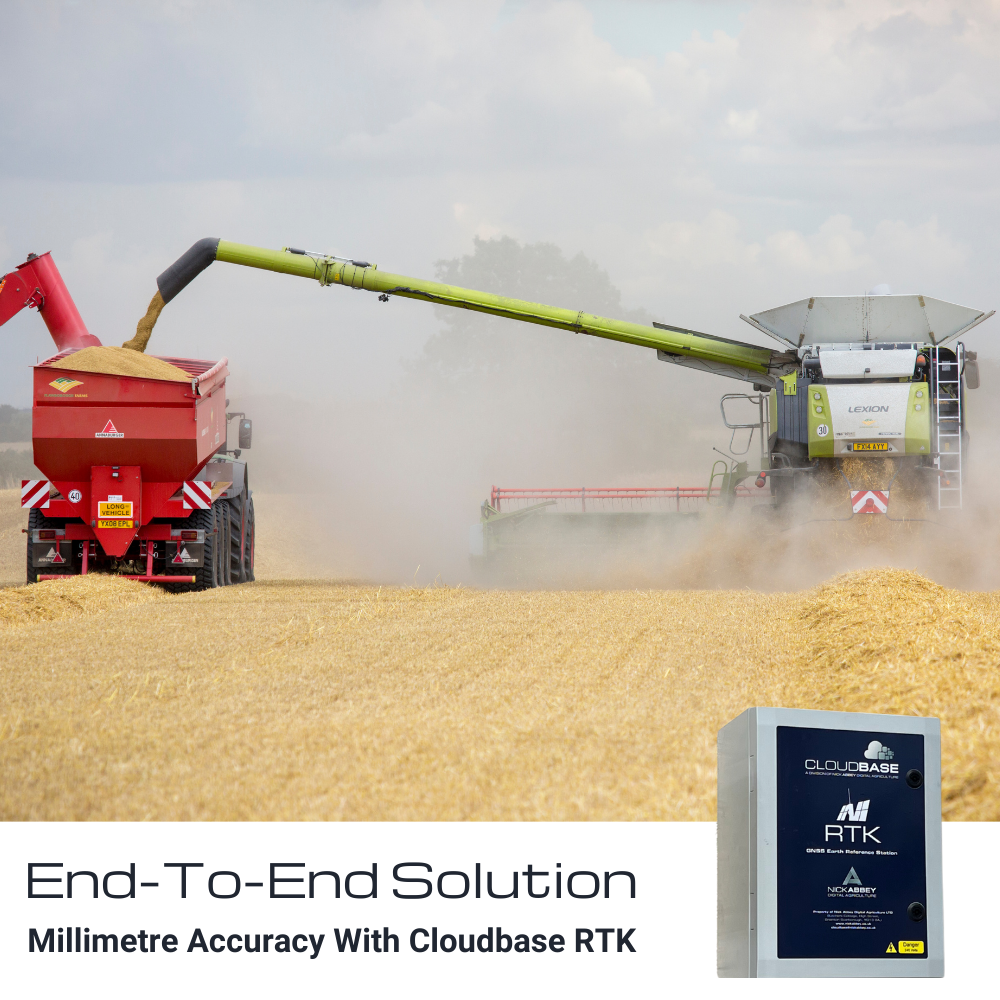
CloudBase RTK enables high-accuracy positioning for a wide range of applications. This technology utilises a network of ground-based reference stations and satellite signals to provide precise positioning information for users.
CloudBase RTK software is a popular choice for many industries, including agriculture, construction, surveying, and mapping. Developed by Nick Abbey Digital Agriculture, our systems are trusted by many farming professionals across the country.
For any questions not covered within our FAQs, please get in contact with our team.
FAQs: RTK For Agriculture & Farming
General Questions
Aberdeenshire, Fife, Lothian, Scottish Boarders, Northumberland, Cumbria, Durham, Lancashire, Yorkshire, Lincolnshire, Nottinghamshire, Norfolk, Leicestershire, Northamptonshire, Warwickshire, Worcestershire, Herefordshire, Gloucestershire, Oxfordshire, Buckinghamshire, Bedfordshire, Hertfordshire, Suffolk, Middlesex, Kent, Sussex, Berkshire, Wiltshire, Cornwall
All RTK capable receivers, including, Trimble, Topcon, John Deere, Novatel, Hemisphere and more.
If your system does not have a modem installed, then you will need a modem to receive RTK corrections. Many older systems that do have modems may need them updating to a 4G type, due to decommissioning of the 3G networks. Manufacturers that have telematics modules fitted such as John Deere MTG, Case IH AM53 or Deutz Fahr CTM enable us to communicate through the telematics module, without the need for an extra modem and SIM card.
Usually in the system setup menu’s you will have the option to select the correction source. Usually in the correction source menu, if you have the option to select RTK, the receiver is RTK ready.
You will need a wiring harness, and possibly a mounting bracket, please let us know what vehicle and receiver you have, and we can assist with what you need.
How Can RTK Software Optimise Agricultural Processes?
By using RTK technology to optimize planting patterns and improve the accuracy of input applications, farmers can increase their yields and improve crop quality.
By using RTK technology to reduce the use of fertilizers and pesticides, farmers can help reduce the environmental impact of their farming operations and promote sustainable agriculture practices.
RTK technology can reduce the need for manual labor in farming operations by enabling automated driving of tractors and other equipment. This reduces labor costs and frees up farmers to focus on other tasks.
RTK technology can help farmers optimise their farming operations by reducing overlap and improving the accuracy of planting and input applications. This improves overall efficiency and reduces costs.
By using RTK technology to optimise planting patterns and improve the accuracy of input applications, farmers can increase their yields and improve crop quality.
FAQs: RTK For Surveying
How Can RTK Software Optimise Surveying?
RTK technology can provide highly accurate positioning information, with centimetre-level precision, allowing surveyors to precisely locate features on a site. This can help ensure that survey data is accurate and reliable.
With RTK technology, surveyors can complete surveys more quickly and with fewer resources. This can help them save time, reduce labour costs, and increase productivity.
RTK technology can provide surveyors with detailed information about the site, including ground conditions, topography, and elevations. This information can be used to create highly detailed maps, which can help surveyors make more informed decisions about the placement of features and ensure that surveys are accurate.
By using RTK technology to precisely control the location of features, surveyors can reduce the amount of waste and disruption that occurs, lowering the environmental impact of their operations.
RTK technology can help surveyors reduce the risk of accidents by automating the positioning and guidance of their equipment, reducing the chances of human error. It can also help them avoid obstacles and other hazards on the site, improving overall safety.
FAQs: RTK For Structure Monitoring
How Can RTK Software Optimise Structure Monitoring?
RTK technology can provide continuous and accurate monitoring of the structure’s movement, which is critical for identifying any potential issues or structural changes.
The high precision of RTK technology allows for the early detection of any changes in the structure’s position, enabling engineers and technicians to take appropriate action before any significant damage occurs.
RTK technology can enhance safety by detecting any potential structural issues early, allowing engineers and technicians to take appropriate measures to prevent any accidents or structural failures.
RTK technology is a cost-effective solution for monitoring structures, as it can provide accurate and continuous monitoring without the need for expensive equipment or manual labour.
RTK technology allows for remote monitoring of structures, which can be especially useful for structures located in remote or inaccessible areas.
FAQs: RTK For Mining
How Can RTK Software Optimise Mining?
RTK technology can accurately track the position of mining equipment and blasthole drilling machines, enabling precise drilling and blasting.
The accuracy and real-time positioning of RTK technology can lead to improved drilling and blasting efficiency, reducing the time and resources required to complete mining operations.
Precise positioning with RTK technology can result in more precise drilling and blasting, reducing the potential for over blasting and minimising the environmental impact of mining operations.
RTK technology can improve safety by providing real-time tracking of mining equipment and blasthole drilling machines, reducing the risk of accidents and collisions.
RTK technology is a cost-effective solution for mining and blasthole drilling, as it can improve efficiency, reduce environmental impact, and enhance safety, all while minimising the need for manual labour.
FAQs: RTK For Marine Navigation
How Can RTK Software Optimise Marine & Vessel Navigation?
Accurate and real-time positioning with RTK technology can enhance safety by reducing the risk of accidents, collisions, and grounding.
RTK technology can improve efficiency by allowing marine vessels to navigate more precisely and quickly, reducing travel time and fuel consumption.
Precise navigation with RTK technology can minimise the impact of marine vessels on the environment by reducing the risk of groundings and other accidents that can cause environmental damage.
RTK technology is a cost-effective solution for marine vessel navigation, as it can improve efficiency, reduce environmental impact, enhance safety, and minimise the need for manual labour.
RTK technology can provide accurate and reliable positioning of marine vessels, allowing for more precise navigation and control.